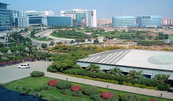
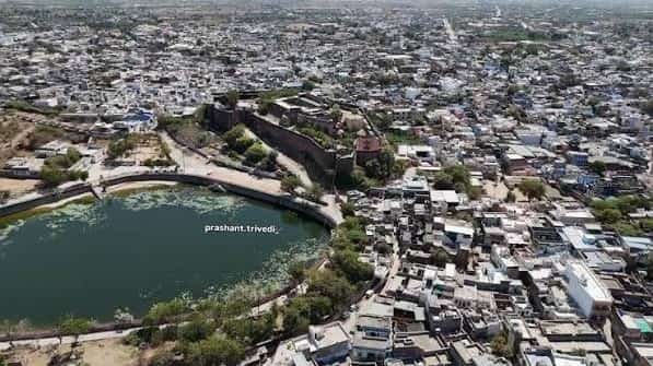
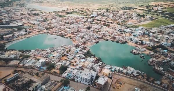
Bareilly is one of the principal cities of the Rohilkhand region in Uttar Pradesh and has long functioned as a commercial, administrative and cultural centre between Delhi, Lucknow and the Himalayan foothills. Founded in the sixteenth century and later developed as an important colonial-era district headquarters, the city today combines government institutions, universities, military establishments, healthcare, wholesale trade and a broad manufacturing base. Bareilly is especially associated with zari-zardozi embroidery, cane and furniture work, surma production and regional agricultural commerce, giving it an economy that mixes traditional craft with modern services and retail.
The city’s identity is also unusually layered. Bareilly is known as Nath Nagri because of its prominent Shiva temples, while important Islamic shrines give it a major religious role as well. It is a Smart City Mission participant and has been upgrading roads, public spaces, traffic systems and urban services. Geographically, Bareilly sits near the Ramganga and acts as a gateway between the Gangetic plains and the Kumaon-Terai region, which explains its strong road links toward Delhi, Lucknow, Nainital, Pilibhit and Shahjahanpur.
Quick About Bareilly City Uttar Pradesh
| Detail | Information |
| State | Uttar Pradesh |
| Region | Rohilkhand |
| District role | Divisional and district headquarters |
| City character | Administrative, craft, trade, education, military and service centre |
| Main central PIN code | 243001 |
| Major rail network | Northern Railway and North Eastern Railway |
| Airport | Bareilly Airport |
| Current direct air destinations | Mumbai and Bengaluru, as listed by AAI |
| Major road corridors | NH 30, NH 530, NH 530B and NH 730B |
| Nearby areas | Izzatnagar, Civil Lines, Shyamganj, Pilibhit Bypass, CB Ganj, Faridpur-side corridor |
Where is Bareilly City Located in Uttar Pradesh?
Bareilly is located in north-western Uttar Pradesh in the Rohilkhand region, between the national capital region to the west and Lucknow to the south-east. The district administration places the city roughly 250 km from both New Delhi and Lucknow, which helps explain its role as an intermediate regional centre.
The older city developed around dense bazaars and religious institutions, while newer commercial and residential growth spread toward Civil Lines, Izzatnagar, Pilibhit Road, Nainital Road and the bypass corridors. Bareilly Cantonment occupies an important southern part of the urban area and adds a large military presence to the city’s geography.
For newcomers, Bareilly is easier to understand by road corridor: Delhi/Rampur side to the west, Nainital/Izzatnagar side to the north, Pilibhit side to the east and Lucknow/Shahjahanpur side to the south-east.
Bareilly City Layout and Main Urban Areas
- Civil Lines: A major administrative, commercial and institutional area with government offices, hotels and good railway access.
- Izzatnagar: An important northern urban zone associated with railway facilities, institutions and established residential areas.
- Shyamganj and old market areas: Dense traditional commercial districts with wholesale, retail and local transport activity.
- Pilibhit Bypass and eastern growth belt: A major newer residential, hospital and education corridor extending toward the eastern side of the city.
- Bareilly Cantonment: A large military and residential zone that shapes southern city movement and road access.
Bareilly’s growth has produced a mix of old high-density markets and newer bypass-side development. The most practical location depends on whether a resident needs access to the old city, railway facilities, cantonment, university areas or the highway network.
Bareilly City PIN Code
Bareilly’s main central postal code is 243001, used by the Head Post Office and several important central addresses. Bareilly Smart City Limited also uses 243001 for its Civil Lines office.
The wider city has multiple additional postal codes for different neighbourhoods, institutions and suburban areas. A property in Izzatnagar, cantonment, CB Ganj or an outer residential colony may therefore use a different code even though it is within the larger Bareilly urban area.
For formal documents, use the exact PIN shown on the locality’s post office or official property address rather than treating 243001 as a universal city code.
Road Connectivity
NH 30 and Bareilly Bypass
NH 30 is a key north-south corridor linking the Bareilly region toward Sitarganj on the north side and toward Shahjahanpur, Sitapur and Lucknow direction on the south. The bypass carries substantial through traffic away from the dense city core.
NH 530 and Rampur/Delhi Side
NH 530 strengthens western connectivity toward Rampur and onward routes to Moradabad and Delhi, while the city’s older Delhi Road corridor remains an important commercial approach.
NH 530B and NH 730B
NH 530B provides the Mathura-Badaun side connection, while NH 730B links Bareilly toward Bisalpur. Together with state roads toward Nainital and Pilibhit, these routes make Bareilly a major regional road node.
| Road/Route | Useful For |
| NH 30 | Sitarganj, Shahjahanpur, Sitapur and Lucknow direction |
| NH 530 | Rampur and western regional travel |
| NH 530B | Badaun and Mathura side |
| NH 730B | Bisalpur and eastern district connections |
| Nainital Road / state road | Izzatnagar, Uttarakhand and Kumaon gateway |
Public Transport Connectivity
Bareilly does not have a metro system. City movement depends on buses, e-buses, autos, e-rickshaws, taxis and private vehicles.
Bareilly Smart City has invested in city transport, traffic-management systems and road improvement projects. Local buses are important for cross-city movement, while autos and e-rickshaws dominate shorter trips between markets, hospitals, colleges and railway stations.
The city’s radial road pattern means several major routes converge toward central Bareilly. This makes the centre convenient but can also create congestion around Shyamganj, Chaupla, Civil Lines and other major junctions at busy hours.
Rail and Airport Access
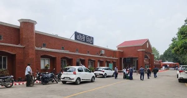
Bareilly is served by both Northern Railway and North Eastern Railway networks. Bareilly Junction is the principal long-distance station, while Bareilly City and Izzatnagar stations are important for other routes and local rail movements.
The city’s railway geography gives passengers several boarding points, so the most convenient station depends on the train. Bareilly Junction is generally the first choice for major intercity services, while Izzatnagar is significant on the North Eastern Railway side.
Bareilly Airport operates from the civil enclave at Trishul Air Base. The Airports Authority of India currently lists direct connectivity to Mumbai and Bengaluru through IndiGo. Flight schedules can change, so passengers should verify the date-specific service before booking onward plans.
Nearby Areas Around Bareilly City
- Izzatnagar: A major rail, residential and institutional area in northern Bareilly.
- CB Ganj: An industrial and residential area toward the western side of the city.
- Pilibhit Bypass: A rapidly developed residential and institutional corridor on the eastern side.
- Faridpur: A nearby town and highway reference on the Lucknow/Shahjahanpur side.
- Bhojipura: A northern regional reference with road and rail links toward the Terai side.
- Nainital-Uttarakhand corridor: Bareilly serves as an important gateway for road journeys toward Haldwani, Nainital and Kumaon.
FAQs
Q. Why is Bareilly called Nath Nagri?
The name is associated with the city’s important Shiva temples and its long-standing religious identity.
Q. Does Bareilly have a commercial airport?
Yes. Bareilly Airport operates scheduled passenger services, with AAI currently listing Mumbai and Bengaluru as direct destinations.
Q. Which is the main railway station?
Bareilly Junction is the principal long-distance station, although Bareilly City and Izzatnagar are also important.
Q. Does Bareilly have a metro?
No. Buses, e-buses, autos, e-rickshaws and private vehicles form the main urban transport system.
Q. Is 243001 the PIN for all Bareilly localities?
No. It is the main central code, but many neighbourhoods and institutional areas use other PINs.
Q. Which part of Bareilly is convenient for newcomers?
Civil Lines is convenient for central access and transport, while Pilibhit Bypass and Izzatnagar may suit residents who prefer newer housing or northern/eastern city access.