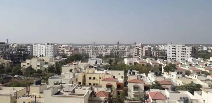
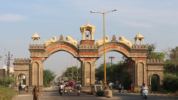
Bokaro Steel City is a planned industrial city in Jharkhand that developed around the Bokaro Steel Plant and later expanded into a major residential, commercial and educational centre. Its numbered sectors, broad roads, green pockets and separate institutional areas reflect the planning style of India’s large public-sector industrial townships. The city also functions as the administrative and service centre for a much wider part of Bokaro district.
Daily life in Bokaro is closely linked with neighbouring Chas, which has grown into a busy commercial city alongside the planned steel township. Residents use a mix of sector markets, City Centre, Naya More and Chas for shopping, transport, education and services. Road and rail links connect Bokaro with Ranchi, Dhanbad, Purulia and other cities of eastern India.
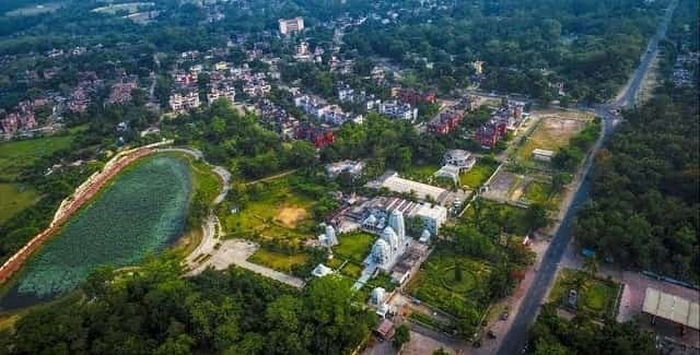
Quick About Bokaro Steel City Jharkhand
| Detail | Information |
| State | Jharkhand |
| District | Bokaro |
| City type | Planned industrial and residential city |
| Major landmark | Bokaro Steel Plant |
| Main postal PIN | 827001 |
| Urban layout | Numbered sectors and planned neighbourhoods |
| Main bus hub | Naya More / Sector 12 side |
| Railway station | Bokaro Steel City Railway Station |
| Nearest major airport | Birsa Munda Airport, Ranchi |
| Nearby areas | Chas, Chira Chas, Balidih, Marafari, Siwandih |
Where is Bokaro Steel City Located in Jharkhand?
Bokaro Steel City lies in Bokaro district in eastern Jharkhand. It is part of a larger urban belt that includes Chas and several industrial and residential settlements around the steel plant. The planned township occupies a distinct position from older surrounding settlements because its roads, sectors and public spaces were laid out around the needs of the industrial city.
Chas directly adjoins the Bokaro urban area and has become one of the city’s most important commercial extensions. For many residents, the boundary between a Bokaro Steel City address and a Chas address matters for postal services, municipal administration and travel planning even though the two urban areas function closely together.
The city’s sector numbering is useful for navigation. Addresses commonly identify a sector first and then a block, market, school or landmark, which is often more practical than using a broad ‘Bokaro’ location.
Sector-based City Layout
- Numbered sectors: Residential and institutional neighbourhoods are organised through a sector system, with different markets and public facilities serving each part.
- City Centre and Sector 4: This area is one of the best-known commercial and retail parts of Bokaro, with shops, offices and regular local transport.
- Naya More and Sector 12: Naya More is an important road and bus reference point for travel within Bokaro and to outside destinations.
- Industrial belt: The steel plant and related industrial areas shape the city’s employment base and road movement, while residential sectors are planned separately from heavy industrial activity.
Because Bokaro covers a wide area, an address should include the sector or neighbourhood wherever possible. Travel time between the station, plant areas, Chas and outer sectors can vary substantially.
Bokaro Steel City PIN Code
The Bokaro Steel City Head Post Office uses PIN code 827001. This is the main postal code associated with the city’s central head post office and several nearby addresses.
Bokaro’s numbered sectors and surrounding localities can use additional PIN codes. A sector-specific address should therefore be checked before using 827001 for courier delivery, banking, school records or government paperwork.
For formal use, the safest format is the exact house or institution name, sector, Bokaro Steel City, district Bokaro, Jharkhand and the PIN printed on the property’s official address.
Road Connectivity
Bokaro-Chas Corridor
Chas forms the city’s main eastern commercial connection. Roads through Chas handle a large share of local and regional traffic and connect Bokaro with markets, schools, hospitals and highway routes.
Ranchi and Ramgarh Side
Road services link Bokaro with Ranchi and Ramgarh, making the state capital accessible for business, medical travel and flights. Journey time can change significantly with highway traffic.
Dhanbad and Purulia Side
Bokaro also has road links toward Dhanbad in Jharkhand and Purulia in West Bengal. These routes support industrial, rail and intercity movement across the region.
| Road/Route | Useful For |
| Bokaro-Chas roads | Daily movement between the planned city and Chas |
| Ranchi/Ramgarh route | Access toward the state capital and Ranchi airport |
| Dhanbad side | Industrial and intercity travel toward Dhanbad |
| Purulia side | Regional connectivity toward West Bengal |
| Sector roads | Local movement between residential, market and institutional sectors |
Local Public Transport Connectivity
Bokaro does not have a metro system. Local travel depends on autos, e-rickshaws, taxis, buses and private vehicles. Shared transport is commonly available around major sector markets, Naya More, Chas and the railway station.
The planned road width inside many sectors makes local movement simpler than in older congested town areas, but traffic is heavier around commercial nodes and at peak office or school times.
For newcomers, the sector number and a nearby landmark are useful when booking an auto or cab because the city’s spread-out layout can make vague destinations difficult to identify.
Bus, Rail and Airport Access
Bokaro Steel City Railway Station is the city’s principal rail gateway and is connected with important routes in eastern and northern India. The district administration notes that the station is outside the main township core, so travellers should plan the road transfer to their sector or hotel.
Naya More is an important bus point for local and intercity services. Buses and road transport connect Bokaro with Ranchi, Dhanbad, Hazaribagh and other towns in Jharkhand.
Birsa Munda Airport in Ranchi is the nearest major commercial airport. The district administration places it at roughly 122 km from Bokaro, so airport journeys require a substantial road transfer and should include a traffic buffer.
Nearby Areas Around Bokaro Steel City
- Chas: The largest adjoining urban area and a major commercial, residential and educational centre.
- Chira Chas: A fast-developed residential belt on the Chas side with apartments, schools and everyday services.
- Balidih: An industrial and residential area with road links toward Bokaro and surrounding highway corridors.
- Marafari: A locality close to the industrial and railway side of the Bokaro urban area.
- Siwandih: A densely settled area near the railway and industrial belt.
- Sector 4: A key commercial part of the planned city, useful as a central reference point for shopping and services.
FAQs
Q. Is Bokaro Steel City the same as Chas?
No. They are adjoining urban areas. Bokaro Steel City is the planned industrial township, while Chas has its own municipal identity and a more traditional commercial urban form.
Q. Does every Bokaro sector use PIN code 827001?
No. 827001 is the Bokaro Steel City Head Post Office PIN, but other sectors and surrounding areas may use different codes. Use the PIN shown on the exact address.
Q. Is Bokaro Steel City Railway Station inside the main sector area?
The station serves the city but is outside the central township core. A road transfer is normally needed to reach most residential sectors.
Q. What is the main local bus reference point?
Naya More, near the Sector 12 side, is one of the city’s important bus and road transport points.
Q. Is there a metro in Bokaro?
No. Local travel is mainly by bus, auto, e-rickshaw, taxi and private vehicle.
Q. Which airport is normally used for Bokaro?
Birsa Munda Airport in Ranchi is the nearest major commercial airport and is reached by road.